Drone Roof Inspection in Prescott Valley, AZ
Drone roof imaging for large or hard-to-reach commercial roofs in Prescott Valley, AZ, with close photographs, thermal passes and a written findings sheet.
Some roofs are better seen from fifty feet up than from the surface. A drone gives us the whole field in one pass, shows ponding that is hard to judge at eye level and reaches areas that are unsafe to walk. For a broad retail roof in Prescott Valley, AZ, or a tall building with a narrow ladder, it is the right first look.
A drone is a tool, not a substitute for a roof walk. It sees surface condition, standing water lines, displaced materials, rooftop equipment and edge conditions. It does not probe a seam, cut a core or feel a soft spot underfoot. We use it to map the roof, spot what needs a closer look and record the whole surface in photographs. Then a crew goes to the flagged areas. When a drone view shows a pattern that suggests moisture, we add a infrared moisture survey. For the complete picture, the drone flight works alongside a hands-on inspection.
An owner who manages several buildings can start here, because one flight gives a comparable record of each roof, taken on the same day under the same light.
How a Flight Goes
Before launch, we check airspace, wind and the weather window. Prescott Regional Airport, with three runways and United Express service, is in the area, so we check airspace and follow the flight rules before every launch. Wind matters as much. A gusty afternoon, common in monsoon season, makes the images soft, so we fly in the calm hours of the morning when we can.
The flight follows a grid pattern at a set altitude, with overlapping images that can be stitched into a single map of the roof. Then we make lower passes over the details: each curb, drain, pipe boot and corner. For photographs, we capture high-resolution still images that can be enlarged without losing detail, and we keep a video record of the pass.
The pilot and a second person on the ground keep the aircraft in sight at all times. Parking areas and entrances are kept clear of the takeoff area, and we coordinate with your facility team before we fly near occupied space.
What the Images Show
From above, ponding lines read clearly: a pale ring where water dried and left a film of dust. Clustered ponding often points to low decks or a drain that is not draining. We also see debris-packed drains, missing or displaced gravel stops, ripples and wrinkles in the membrane, loose edge metal and patches that have not held. On a roof that has taken a storm, scuffs and bruising from small hail show up under raking light.
That matters in this market. The July 20, 2026 storm over Prescott Valley dropped pea-sized hail along with heavy rain and strong gusts, and a weather statement for a cell near Dewey-Humboldt reported half-inch hail. Stones of that size do not always make a roof leak, but they can leave marks. A drone pass after a storm gives us a dated, whole-roof record that can be compared with the next flight.
Thermal passes can show heat patterns, though they depend on clear, calm evenings, and they guide a moisture survey but do not replace the core.
Drainage reads best from above. We follow the slope lines toward each drain and note any bowl that sits high, any path where water has to cross a seam and any low spot far from an outlet. Those observations feed the repair list, and they help an asset manager decide whether new drains or tapered insulation would solve the ponding.
Where a Drone Falls Short
A drone sees the surface, and many roof problems live below it. Wet insulation, a debonded membrane and a corroded deck can sit under a roof that looks clean from above. Seams that look closed may still be weak. Sealant that appears intact may have lost its bond. Because of this, we treat every drone finding as a lead to confirm, not a conclusion.
Light affects the result as well. Flat midday sun hides texture, and a low morning sun shows ripples and ponding more clearly. Reflective white membranes can wash out in bright light, so we adjust exposure and fly at an angle that keeps detail. When a roof is covered by dust, snow or leaf litter, the image tells us less, and we say so on the sheet rather than guess.
The value lies in the combination. The drone gives you the map, the crew gives you the proof, and the written sheet ties the two together so you can act on a short list instead of a vague worry.
Roofs That Suit a Drone
Wide retail roofs along Glassford Hill Road and the State Route 69 corridor are strong candidates. Shoppers and delivery trucks use these buildings every day, and a drone limits the time crews spend on the roof. On a long, open roof field, a stitched map shows drainage at a glance. Multi-building properties can be flown in a single day, which helps a manager who wants a comparison across all roofs on a site.
A drone also helps on difficult structures: roofs with many levels, metal panels with steep slopes, or buildings with fragile skylights. In the hillside town of Jerome, which sits on steep slopes along State Route 89A, a flight shows rooflines that are awkward to see from the street.
What You Receive
You receive a stitched roof map, numbered close-up photographs, a list of findings with locations and a ranked recommendation. If we flag areas for follow-up, the sheet says which tool comes next: a probe, a core or an infrared scan. Files are delivered in formats a property manager, lender or insurer can open without special software.
We also keep the flight record. A map from this year lets an asset manager compare condition next year, which makes roof condition reports and capital planning more precise.
Commercial Roofing Questions
Does a drone inspection replace walking the roof?
No. It replaces the first look on large or unsafe roofs and directs the walk. A drone cannot test a seam, feel a soft deck or cut a core. We use it to map the roof, then send a crew to the areas that need hands-on checks.
Can you fly near the airport or over a busy parking lot?
We check airspace before every flight and follow the rules for the location. Near an airport, that may mean altitude limits or waiting for clearance. Over public areas, we set up a clear launch zone and keep a spotter watching people and vehicles.
How windy is too windy to fly?
Steady wind and gusts both limit flight. When gusts rise, images blur and the aircraft is harder to hold in place. Monsoon afternoons are often poor for flights, so we plan mornings and move a flight if a storm cell is building to the west.
Can the images support an insurance claim?
They help. Dated photographs of the whole roof, with close-ups of damage, give an adjuster a clear record. Images alone seldom settle a claim, so we pair them with notes from the roof walk and moisture readings where they apply.
How soon after a storm should we fly?
As soon as the roof is dry and the wind has dropped. Early images catch debris, displaced material and standing water before foot traffic and weather change the surface. A quick flight after a major cell gives you an early picture while a crew is scheduled.
Request a Flight
Tell us the building address and what worries you about the roof. We will schedule a morning flight, map the surface and send a findings sheet that shows where the crew should look next.
Request a Roof Assessment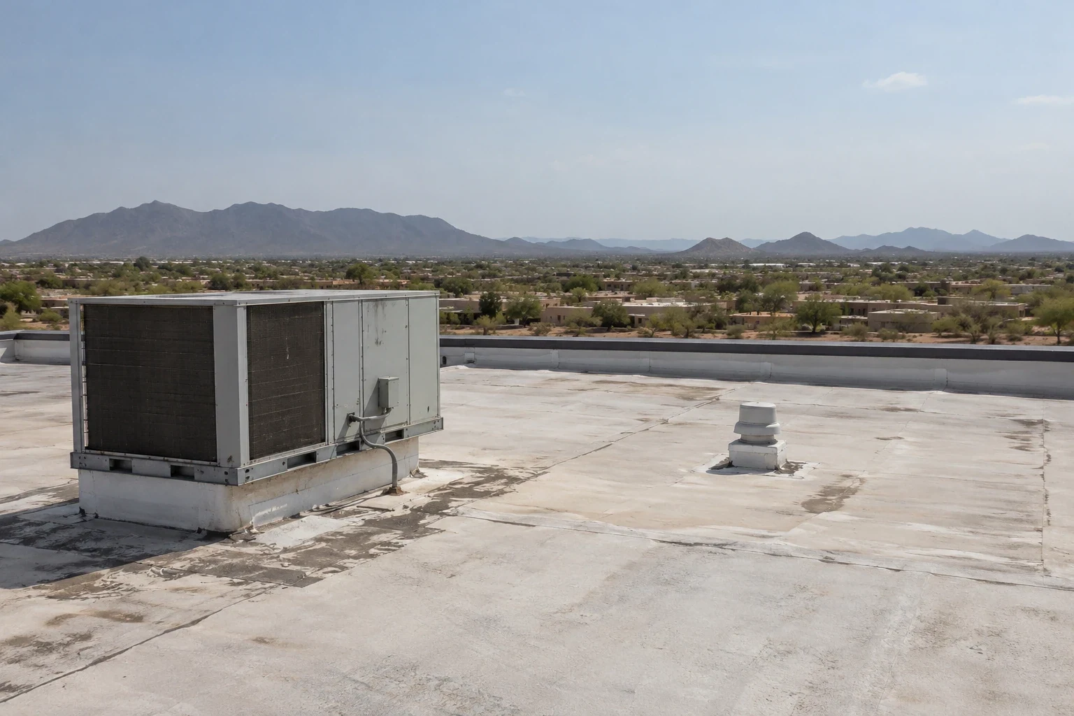
Commercial Roofing Questions
No. It replaces the first look on large or unsafe roofs and directs the walk. A drone cannot test a seam, feel a soft deck or cut a core. We use it to map the roof, then send a crew to the areas that need hands-on checks.
We check airspace before every flight and follow the rules for the location. Near an airport, that may mean altitude limits or waiting for clearance. Over public areas, we set up a clear launch zone and keep a spotter watching people and vehicles.
Steady wind and gusts both limit flight. When gusts rise, images blur and the aircraft is harder to hold in place. Monsoon afternoons are often poor for flights, so we plan mornings and move a flight if a storm cell is building to the west.
They help. Dated photographs of the whole roof, with close-ups of damage, give an adjuster a clear record. Images alone seldom settle a claim, so we pair them with notes from the roof walk and moisture readings where they apply.
As soon as the roof is dry and the wind has dropped. Early images catch debris, displaced material and standing water before foot traffic and weather change the surface. A quick flight after a major cell gives you an early picture while a crew is scheduled.